Campus Maps
comprehensive direction-providing application that leverages the principles of directed labeled graphs and Dijkstra’s algorithm in Java to generate efficient pedestrain routes on the University of Washington campus.

“Campus Maps” is an innovative direction-providing application specifically designed to facilitate navigation across the University of Washington campus. This application stands out due to its utilization of directed labeled graphs and Dijkstra’s algorithm, implemented in Java, to calculate the most efficient pedestrian routes. By incorporating these sophisticated algorithms, Campus Maps ensures that users are provided with the quickest and most straightforward paths to their destinations within the university premises.
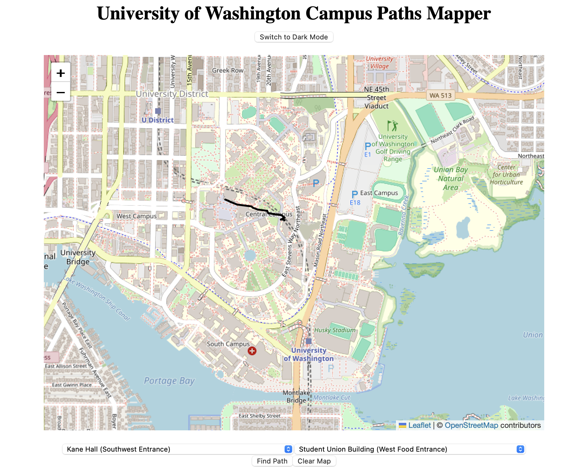
One of the key features of Campus Maps is its user-friendly graphical interface, developed using React and HTML. This interface is not just functional but also visually appealing, as it is capable of depicting the selected travel routes on a map, making it easier for users to understand and follow the recommended paths. The graphical representation of routes significantly enhances the user experience by providing clear and interactive navigation aids.
The backend of Campus Maps is powered by Spark Java Server. This choice of technology underscores the application’s focus on efficiency, particularly in the retrieval of crucial data like building locations and their geographical coordinates. By leveraging the Spark Java Server, Campus Maps ensures swift and accurate information delivery, which is vital for real-time navigation assistance. This seamless integration of front-end interactivity and backend efficiency makes Campus Maps a comprehensive and reliable tool for students, faculty, and visitors navigating the University of Washington campus.
you can access it here